 22.8 km – Round trip – Hard
  5-8h
5-8h  4.3
4.3
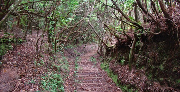
This walk follows the course of an old footpath used by local people to bring wood from the forest. The general trend is downhill.
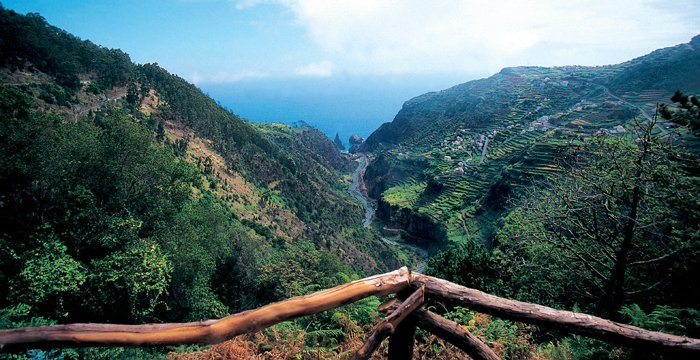
This route links the settlement of Ribeira da Janela and the forested area above it, running at elevations between 820 and 400 metres. It begins at regional highway 209, in the area of Curral Falso, and ends at the same highway in the settlement of Ribeira da Janela.
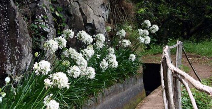
This path follows the remnants of an old footpath used by the inhabitants to bring wood from the forest, which was essential for their daily lives. It was also the path used by the inhabitants to connect them with settlements on the south side of the island, mainly Calheta and Ponta do Sol. Robust young men climbed the mountain slopes, their backs laden with barrels or goatskins filled with wine to be sold and/or traded for other goods.
At Ribeira da Janela you can come in contact with this traditional and unique agricultural area with its typical terraced farm plots, held in place by laboriously built stone walls, where sweet potatoes, potatoes, beans, maize and the indispensable vineyards of Ribeira da Janela are cultivated.
The houses are scattered among the terraces, from the mouth of the stream to an elevation of 400 metres, with the church located halfway up the slope. The settlement’s name, Ribeira da Janela, comes from the name of Madeira’s longest waterway, which runs about 15.7 km.
This is a good location for seeing the Madeira long-toed pigeon (Columba trocaz), an endemic bird exclusive to Madeira. During the migratory seasons, some migrating bird species may be seen in the mouth of Ribeira da Janela as they pass through: the little egret (Egretta garzetta), the purple heron (Ardea purpurea), and mallard ducks (Anas platyrhynchos).
Comment (0)