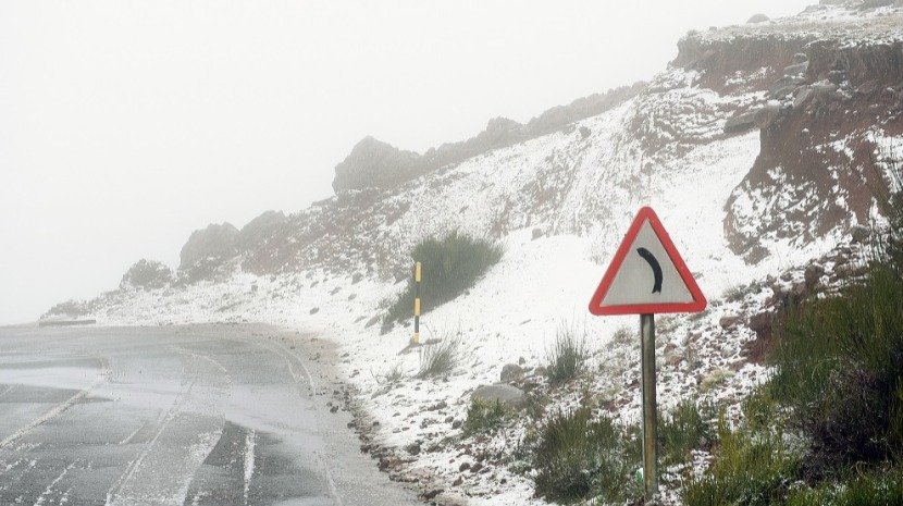
Also in Monte, parish of Funchal, it is already feeling some cold, a situation that forced the Portuguese Institute of the Sea and Atmosphere to issue a yellow warning for the north coast and mountainous regions of Madeira until Tuesday. IPMA says snow will fall on the highest peaks in RAM.
Also the wind, maritime agitation and precipitation forced a yellow warning for RAM until Tuesday. The snow will fall on the highest peaks of Madeira, according to the IPMA, with snowfall above 1000/1200 meters of altitude, with accumulation above 1200/1400 meters. Wind and sea waves will open an orange warning tomorrow, between 03:00 and 15:00. Wind with the possibility of being strong with gusts of up to 100 km/h, in the mountainous regions, north coast and on Porto Santo Island, while the waves are from the northwest with 5 to 7 meters, which can reach 11 to 13 meters in maximum height in the north coast of Madeira and Porto Santo.
Until 12 noon this Sunday, the persistence of low values of the minimum temperature were more felt in the stations of Lombo da Terça (8.9ºC), Bica da cana (5.4ºC), Pico do Areeiro (4.7ºC) and Pico Alto. (8.4). These are the values of extreme temperatures since 00:00.
The highs, at 12 o’clock, were 9.9ºC at Lombo da Terça, 8.4ºC at Bica da Cana, 7.9ºC at Pico do Areeiro and 9.8ºC at Pico Alto. Near Funchal, in Monte, 14.0ºC was recorded as the maximum temperature and 11.5ºC as the minimum, making you feel some cold in the place.
At the observatory, in the last hour, 17.5ºC was recorded as the maximum temperature, while since 00:00 the most extreme temperatures were 19.0ºC as the maximum and 15.5ºC as the minimum. As for the wind, until noon the biggest gust happened was 48 kms/H at Madeira Airport, while the biggest period of rain since 00:00 happened at the station with an accumulated of 18.0 millimeters per square meter (mm) in Sao Jorge. In Funchal, it has rained 0.9 mm so far.
Comment (0)