Get ready for a storm weekend in the Region. Heavy rain and wind with gusts greater than 100 km / h is, for now, the forecast of bad weather that should hit Madeira, especially on Saturday due to a depression that threatens to turn into a tropical or sub-tropical cyclone.
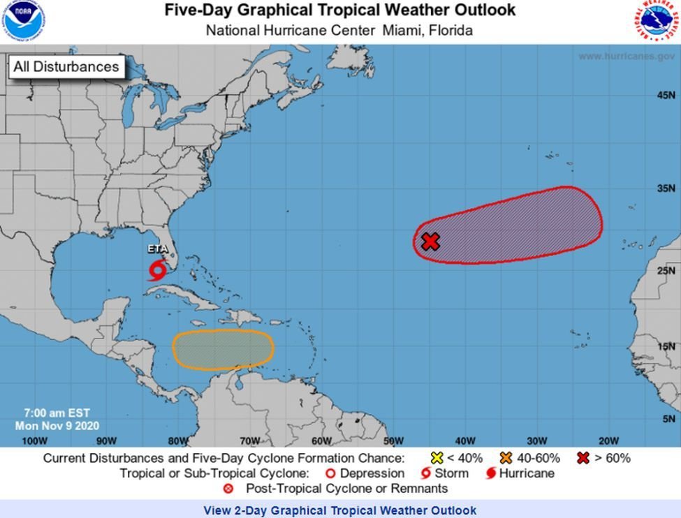
The Portuguese Institute of the Sea and the Atmosphere (IPMA) is monitoring the target disturbance for monitoring and forecasting by the United States National Hurricane Center (NHC – National Hurricane Center), the division of the United States National Weather Service that tracks the depressions and tropical storms and hurricanes. The rain and thunderstorms associated with a low pressure system located hundreds of kilometers southwest of the Azores have a tendency to develop a storm in the coming days as it moves east or east-northeast over the northeast Atlantic Ocean.
Prepare-se para um final de semana de temporal na Região. Chuva forte e vento com rajadas superiores a 100 km/h é, para já, a previsão de mau tempo que deverá atingir a Madeira, sobretudo no sábado devido a uma depressão que ameaça poder vir a se transformar em ciclone tropical ou sub-tropical.
O Instituto Português do Mar e da Atmosfera (IPMA) está a acompanhar a perturbação alvo de monitorização e previsão do Centro Nacional de Furacões dos Estados Unidos (NHC – National Hurricane Center), a divisão do Serviço Nacional de Meteorologia dos Estados Unidos que acompanha as depressões e tempestades tropicais e furacões. As chuvas e trovoadas associadas a um sistema de baixa pressão localizado a centenas de quilómetros a sudoeste dos Açores tem tendência para desenvolver uma tempestade nos próximos dias enquanto se move para leste ou leste-nordeste, sobre o oceano Atlântico nordeste.
Source: DN
Comment (0)